Strategic Noise Mapping Software — City-Wide Noise Assessment & EU END Compliance
Strategic noise mapping involves the assessment of noise exposure across entire urban areas, major transport corridors, and large industrial zones — typically covering thousands of noise sources and millions of residents. SoundPLAN is one of the world's most widely used software platforms for strategic noise mapping, having been deployed for national END reporting cycles across Europe and increasingly for equivalent large-scale assessments in Asia and the Middle East.
Strategic noise maps serve as the evidence base for noise action plans that identify priority intervention areas, drive infrastructure investment in noise barriers and facade insulation, and inform long-term urban land use planning decisions.
Strategic Noise Mapping Features
- CNOSSOS-EU calculation method — The European Common Noise Assessment Method, mandated for EU member states' strategic noise mapping under the Environmental Noise Directive (END)
- Population exposure statistics — Lden and Lnight exposure counts per 5 dB band, by source type, for regulatory reporting
- Large-area GIS integration — Import road networks, buildings, terrain, and population data from GIS sources; handle city-scale models efficiently
- All source types — Road traffic, railway, aircraft, and industrial noise in a combined strategic model
- Noise action plan tools — Identify priority hotspots, model intervention scenarios, evaluate cost-effectiveness of mitigation
- Reporting for competent authorities — Standardised output tables and maps in the formats required for national and EU reporting
Applications in Asia & Middle East
While strategic noise mapping is mandated by EU law, the methodology is increasingly being applied in Asia and the Middle East for smart city development, urban master planning, and large infrastructure project planning. SoundPLAN Asia supports clients in the region undertaking strategic and large-scale noise mapping projects.
Data Requirements for Strategic Mapping
Strategic noise mapping projects require large amounts of geospatial input data: detailed road network shapefiles with traffic volume and speed data, building footprint polygons with height attributes, population data at building or dwelling level, digital terrain models, and railway track data with train type and frequency information. SoundPLAN Asia can advise on data collection, preparation, and format conversion for strategic mapping projects in Asia and the Middle East.
Strategic Mapping Outputs
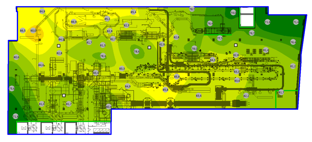
- Noise exposure maps — Lden and Lnight color-coded raster maps showing noise contours across the mapping area
- Population exposure tables — Number of people exposed above each noise level threshold, by source type — essential for action plan reporting
- Hotspot identification — Identify the locations where the largest populations are exposed to the highest levels — priority areas for noise action plans
- Action plan scenario modeling — Model proposed interventions (barriers, speed limits, traffic management, building insulation) and quantify the reduction in population exposure
Contact us for strategic noise mapping support | Urban planning noise assessment